
September 29, 2026 — 17:00 CEST (Check your local time here.)
Landscape is not flat — and RhinoLands is here to help you model it.
Join this webinar to discover how RhinoLands makes it easy to create, modify, and analyze terrain directly in 3D.
Starting from contour lines, points, or other terrain data, you can quickly generate a 3D terrain model and use RhinoLands’ grading tools to adapt it to your landscape project.
During the session, we will explore how to:
- Generate a 3D terrain from different types of source data.
- Modify and reshape the terrain using grading tools.
- Create cut and fill operations for platforms, paths, roads, and other project elements.
- Adjust slopes and elevations according to your design requirements.
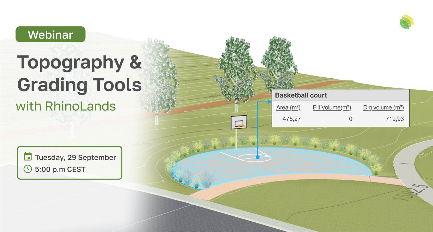
- Calculate earthwork quantities directly from the model.
- Review the area and volume of each terrain operation individually.
RhinoLands automatically calculates the areas and cut-and-fill volumes generated by your grading operations, helping you evaluate the impact of your design while you work.
Whether you are designing a garden, public space, park, residential landscape, or a larger site, RhinoLands gives you the tools to work with real topography without turning terrain modeling into a complicated process.
Join us on September 29 at 17:00 CET and discover how easy it can be to shape the land with RhinoLands.
